On Geographic Education
Happy Geography Awareness Week! Each year, the third week of November is dedicated to the study of geography and understanding the world through a spatial lens. The week was designated by presidential decree in 1987 to promote geographic education in schools and in life.
About six years ago, I decided to dedicate the rest of my life to just that: promoting geographic education anywhere and everywhere I could. These endeavors have brought me joy and a sense of self-worth that I never thought possible. It turns out, sharing the things you love with people you care about is the greatest feeling I could have ever hoped for.
Geographic education has changed rapidly of late, even in the short period of time I’ve been involved. I graduated from the University of Oregon in 2011 with a degree in Geographic Information Systems where I primarily learned cartographic principles, statistical and spatial analysis, and the nuances of using Esri’s ArcGIS platform. I also learned a bit of R, ERDAS Imagine, and Adobe Illustrator, but most courses were taught with an ArcGIS focus. The program was focused on the how and the what, but not so much on the why and the what else. Most people I’ve talked to who learned how to make maps in a higher education environment have had similar experiences.
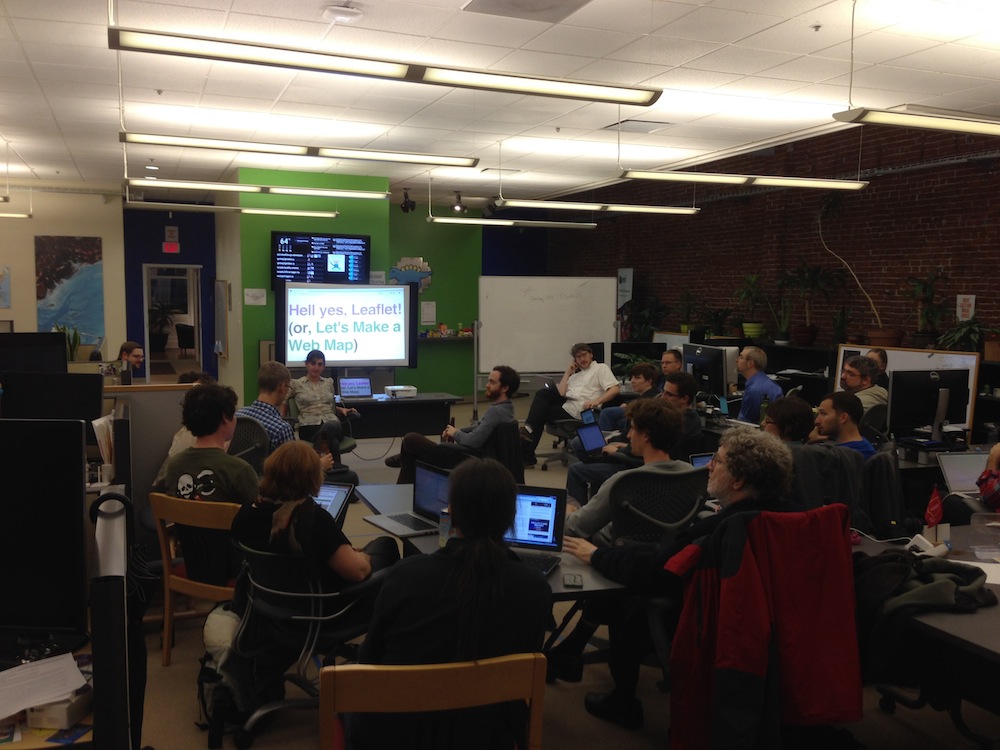
Over the past year and a half, I’ve been extremely lucky to be involved in Maptime, an organization that is dedicated to changing the way we learn about mapping. Maptime attendees are not just folks like me who came from academic GIS: there are developers, designers, artists, professors, scientists, and folks who have completely unrelated careers and are just interested in learning how to make maps. The Maptime model is malleable, which makes it a perfect fit for a modern technology space where tools and products are changing all the time. Materials are built as-needed and shared widely throughout all 40+ chapters on four continents. As the Maptime community grows, so does the pool of individuals who are contributing materials, using new techniques to solve problems, and growing into instructors themselves. It’s a beautiful thing to watch.
And the traditional academic institutions are taking note. Over the past few months, several universities have taken on the challenge of building a “modern maps” curriculum, including, most notably, the New Maps Plus program at the University of Kentucky. Just last week, I received an email from my alma mater asking some questions about what we as alumni would like to see from a geospatial technology curriculum. The questions were:
- What type of geospatial technology courses would be good to add to our curriculum?
- What are the type of skills that are needed today from your perspective?
- What software and programming languages should we be teaching?
- Are there mapping concepts that we should add to the classes?
- Any ideas on new structures for the classes?
In talking to another alum, he and I realized our answers were hinging on another question entirely: do you need to learn how to code to succeed in the world of modern geospatial technology? I said no: I think so long as you have a basic understanding of the technologies that are enabling your cartography/analysis/data management, you don’t need to learn how to code. He thinks it’s more important: If you know how to code, everything becomes much easier to work with in this new landscape.
These conversations and questions have led me to some deep thinking about what it means to be a proficient and valuable member of the geospatial technology community such that you are employable and can provide value to geographic projects and endeavors. And then, specifically, I’ve been thinking about how our higher education institutions can promote this knowledge and understanding through their curricula.

This is what I’ve come up with so far, in no particular order:
- There are many different jobs in geospatial technology. A web developer needs different skills than a cartographer needs different skills than a database administrator needs different skills than a spatial analyst. College and university programs could do a better job of laying out the reality of the geospatial job market beyond the traditional GIS technician-specialist-analyst hierarchy.
- There should be a greater focus on the principles and theories underlying the use of the tools than on the tools themselves. Knowing how a buffer analysis works on a fundamental level is more valuable than knowing which buttons to press in a software program or which commands to type in the Terminal. Syntax and procedure are much easier to learn than underlying principles.
- The history of cartography should be included as well, including instruction on geodesy, map trends, and major actors in the geospatial field.
- Courses should be project-focused and start from scratch. Although that makes them harder to grade, data acquisition is an important exercise that many university students don’t get to experience.
- Universities should encourage independent learning and real-world projects for students to take on. Having an actual need and working towards it with subject matter experts encourages quick learning and true understanding, as well as provides an opportunity to discover what type of map, if any, is best to solve the particular problem.
- Introductory courses should include these five basic sections. Each of these courses lends itself well to covering multiple tools and platforms:
- Introduction to GIS (an analysis and automation course)
- Introduction to Cartography (a design course)
- Introduction to Web Mapping (a web programming course)
- Introduction to Geographic Data (a computing and database course)
- Introduction to Mapping Practices (a practical course on data collection, community mapping, etc)
There are many more thoughts, but it all boils down to this: if we focus on tools, our curricula will become outdated very quickly. If we focus on principles and ideas, our curricula become not only longer-lasting in relevance, but also malleable to the point that they don’t need a recreation every five years.
But curricula aren’t the only things that need to change. Ultimately, I’d like to see more Maptime-style philosophies permeating the halls of academia. I’d like to see small, independent groups of students learning together from provided resources – and working together to create learning resources of their own. I’d like to see an excitement for the geospatial field simply because it’s cool, and not just because it may lead to a lucrative job (although, that’s a fine motivation as well).
I’d like to see a time in which we don’t have to have a week where we focus on geography, because it’s truly and explictly embedded in our everyday lives. Fortunately, with the help of great communities and excited educators, we are well on our way.